


- Climatic regions have homogeneous climatic conditions resulting from a combination of factors.
- Temperature and rainfall are key elements considered in climatic classification schemes.
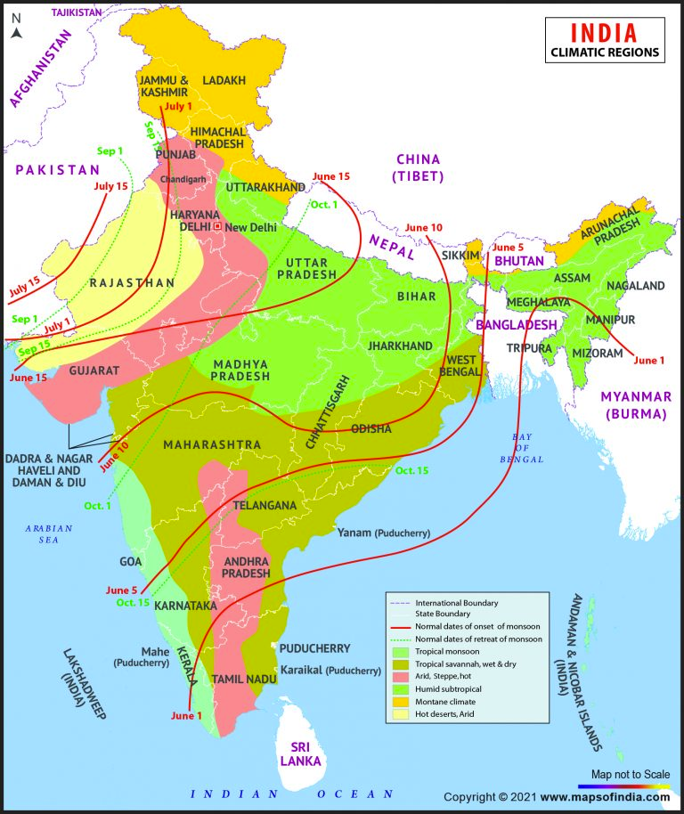
- India as a whole has a monsoon type of climate, but there are regional variations due to different combinations of weather elements.
- India can be divided into different climatic regions based on variations in climate distribution
- The Trewartha scheme is suitable for India and corresponds closely to soil, vegetation, and agricultural regions
- Trewartha modified Koppen’s classification of climate in 1954
- Trewartha’s classification is empirical and based on temperature and precipitation data
- English alphabets are used as symbols to show the different types of climate
- India is divided into four major climatic regions and seven meso-climatic divisions according to Trewartha’s scheme
Trewartha’s Classification of Climate
According to Trewartha’s scheme, the main climatic regions of India include:
- Tropical Rainforest Climate (Am)
- High temperatures and heavy precipitation
- Temperatures above 18.2°C, rainfall above 200cm
- Includes western coastal plain, Sahyadris, Assam, and Meghalaya
- Dense evergreen forests
- Tropical Savannah Climate (Aw)
- Mean annual temperature around 27°C
- Mean annual rainfall less than 100 cm
- Marked dry season
- Covers most of Peninsular India, excluding coastal plains and western slopes of Western Ghats
- Tropical Steppe Climate (BS)
- Mean annual temperature around 27°C
- Rain-shadow area of Western Ghats
- Covers peninsular India east of Western Ghats
- Sub-tropical Steppe Climate (BSh)
- Semi-arid climate in parts of Gujarat, eastern Rajasthan, Mahanadi, Andhra Pradesh, and southern Haryana
- Mean annual temperature over 27°C, mean monthly January temperature around 15°C
- Mean annual rainfall varies between 60-75 cm
- Tropical Arid Climate (BWh)
- Found to the west of the Aravallis, stretching over the Thar Desert
- Mean maximum temperature during May and June occasionally crosses 48°C
- Mean annual rainfall less than 25 cm, lowest rainfall in Ganganagar district
- Natural vegetation in the form of thorny bushes
- Humid Subtropical Climate (Caw)
- Occupies most of the Great Plains of India, from Punjab to Assam
- Mean January temperature less than 18°C, mean maximum in summer may cross 45°C
- Average annual rainfall varies from 250 cm in east to about 65 cm in west
- Mountain Climate (H)
- Found in hilly parts of Jammu and Kashmir, Himachal Pradesh, Uttarakhand, Arunachal Pradesh, and other hilly parts of northeast India
- Average temperature for summer season around 17°C, average January temperature around 8°C
- Rainfall decreases from east to west, Western Himalayas record some rainfall from western disturbances during winter season.