
India and Thailand agree to deepen defence cooperation in manufacturing, research and innovation during 10th Defence Dialogue
Context : India and Thailand agreed to strengthen cooperation in defence manufacturing, research, innovation, and capability development during the 10th Thailand–India Defence Dialogue. The meeting was co-chaired by officials from both countries in Bangkok and focused on expanding bilateral defence ties and enhancing strategic collaboration.
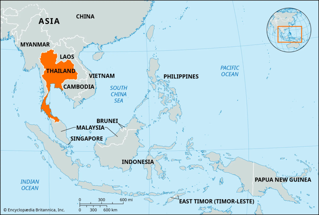
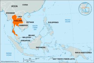
About Thailand
- Thailand is a sovereign constitutional monarchy located in Southeast Asia.
- The country was officially known as Siam until 1939.
- It is the only nation in the region that was never colonized by a European power.
- Thailand transitioned from an absolute monarchy to a constitutional monarchy after the 1932 revolution.
- Although it follows a parliamentary system, its political history has witnessed several periods of military rule and intervention.
- Capital: Bangkok.
- Border Nations: Myanmar (west and northwest), Laos (north and northeast), Cambodia (southeast), and Malaysia (south).
Key Geological and Physiographic Features
- Northern Mountain Region
- Khorat Plateau (Northeast)
- Chao Phraya Basin (Central Plains)
- Southeastern Coastal Region
- Southern Peninsula
Northern Mountain Region
- Forms part of the Western Highlands and is geologically linked to mountain-building processes associated with the Himalayan orogeny.
- Characterized by rugged mountain ranges and forested highlands.
- Contains Doi Inthanon, the highest peak in Thailand, rising to 2,585 metres above sea level.
Khorat Plateau (Northeast)
- A vast elevated plateau occupying much of northeastern Thailand.
- Bordered by the Mekong River.
- Geological faulting has created a gently rolling landscape that slopes toward the southeast.
Chao Phraya Basin (Central Plains)
- Formed by extensive alluvial deposits brought by northern rivers.
- Serves as Thailand’s agricultural, economic, and cultural heartland.
- Consists of fertile low-lying plains and deltaic regions.
Southeastern Coastal Region
- Features rolling hills, coastal plains, and an irregular shoreline.
- Contains numerous islands, sandy beaches, and tourism centres.
- Supports fishing and maritime activities.
Southern Peninsula
- A narrow mountainous strip located between the Andaman Sea and the Gulf of Thailand.
- Narrows at the Isthmus of Kra.
- Characterized by mangrove forests, wetlands, and coastal plains.
Major River Systems
- The Chao Phraya River is Thailand’s principal river system.
- It is formed by the confluence of the Ping, Wang, Yom, and Nan rivers.
- Empties into the Gulf of Thailand.
- The Mekong River forms a significant part of Thailand’s eastern boundary with Laos.
Soil Profile
- Central plains and northern valleys contain highly fertile alluvial soils.
- Seasonal river deposits continuously replenish soil nutrients.
- These regions constitute some of the country’s most productive agricultural areas.